

Profile Completeness — 67%
raSmith Unclaimed
raSmith provides land surveying, mapping, and geospatial services for developers, contractors, architects, attorneys, real estate professionals, municipalities, and public and private sector clients. Its survey division has provided land surveying services since 1929 and includes licensed land surveyors, 3D modeling specialists, FAA-certified UAS pilots, and project managers.
Credentials & Experience
- PLS
- PE
- FAA-certified UAS pilots
Coverage Area
Wisconsin, Illinois, California, Michigan, and Iowa
Additional Details
- Licensed in States
- ILIAMIWI
- Years of Experience
- 97
- Services Offered
- boundary_surveystopographic_surveysalta_surveysconstruction_stakingsubdivision_plattingelevation_certificateslegal_descriptionsright_of_way_surveyshydrographic_surveysGPS_control
- Technology & Equipment
- GPS_GNSSrobotic_total_stationslaser_scanning_3Ddrone_UAVCAD_design
- Residential Services
- Yes
- Commercial/Industrial Services
- Yes
Location
Milwaukee, WI
Request a Quote from raSmith
Request sent
Your request has been sent to raSmith. They reply to your email directly; response times vary by provider.
There is no need to send this again. If you have not heard back in two business days, email us and we will chase it, or ask more providers in your area.
Something went wrong. Please try again.
Have you worked with this business? Leave a review
Leave a Review for raSmith
Review Submitted!
Thank you for your feedback. Your review will be published after verification.
Something went wrong. Please try again.
Sponsored
Want to appear above your competitors?
Get FeaturedPremium placement · Priority visibility · Sponsored badge
Land surveyor Resources
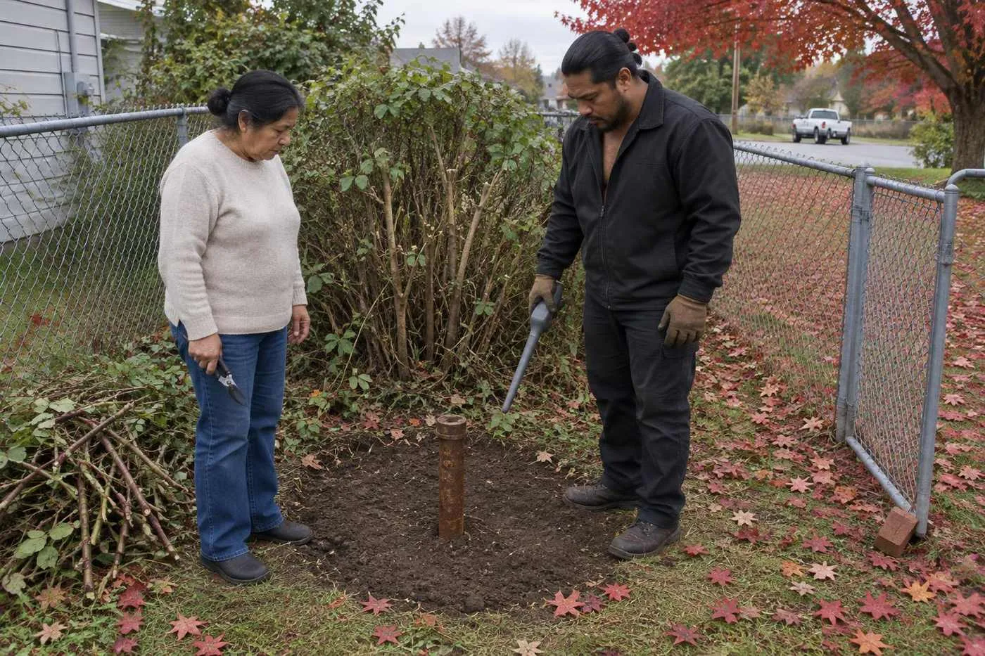
How to Prepare for a Land Surveyor Session (Property Owner's Checklist)
Prepare for your land surveyor session in 15 minutes and save $200+ in unnecessary research fees with this property owner checklist.
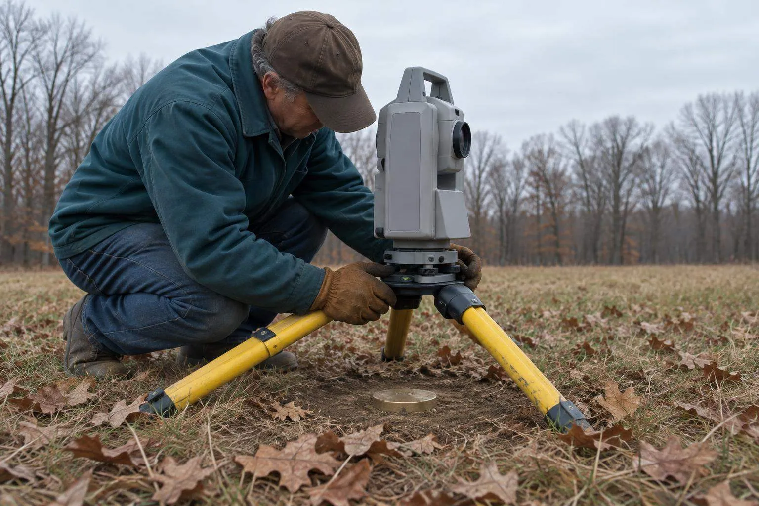
How Much Do Land Surveyors Make? Salary & Earnings Breakdown
Land surveyor salaries range $71k–$93k yearly with licensed pros earning 30% more. See the real numbers, experience impact, and geographic pay gaps.

Best Land Surveyors in Houston (2026 Guide)
Find vetted land surveyor firms in Houston with real reviews, pricing, and specialties. Avoid costly delays—get matched to the right surveyor today.
Looking for more? Browse our full resource library or find land surveyors in other cities.
Stay Updated
Pricing data and tips for choosing a provider.
Free. Unsubscribe anytime.
Get a free quote from raSmith