

Profile Completeness — 67%
Alpha Land Surveying & Mapping Unclaimed
Alpha Land Surveying & Mapping was founded in January 1996 by Fred M. Franklin, PLS. It provides land-surveying services including boundary, ALTA/ACSM, topographical, construction-staking, elevation-certificate, GIS-mapping, and aerial LiDAR work in Nebraska, Florida, and surrounding areas.
Credentials & Experience
- PLS
Coverage Area
Nebraska, Florida and surrounding areas; Northeast Nebraska and surrounding areas.
Additional Details
- Licensed in States
- NE
- Years of Experience
- 30
- Services Offered
- boundary_surveystopographic_surveysalta_surveysconstruction_stakingelevation_certificates
- Technology & Equipment
- GPS_GNSSrobotic_total_stationsdrone_UAVGIS_mapping_softwareCAD_design
Location
10619 Burt Circle, Omaha, NE 68114
Request a Quote from Alpha Land Surveying & Mapping
Request sent
Your request has been sent to Alpha Land Surveying & Mapping. They reply to your email directly; response times vary by provider.
There is no need to send this again. If you have not heard back in two business days, email us and we will chase it, or ask more providers in your area.
Something went wrong. Please try again.
Have you worked with this business? Leave a review
Leave a Review for Alpha Land Surveying & Mapping
Review Submitted!
Thank you for your feedback. Your review will be published after verification.
Something went wrong. Please try again.
Sponsored
Want to appear above your competitors?
Get FeaturedPremium placement · Priority visibility · Sponsored badge
Land surveyor Resources
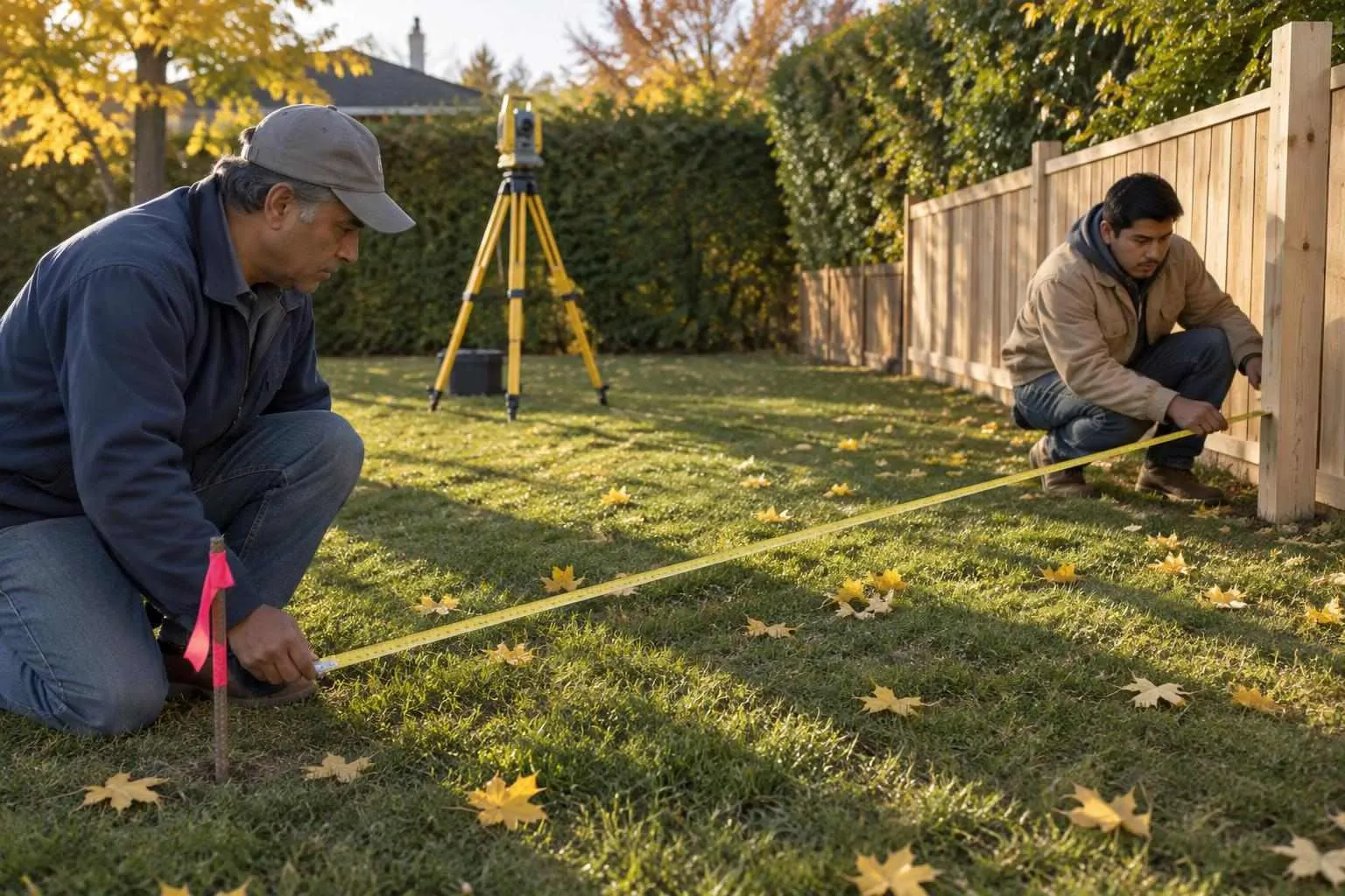
Are Cheap Land Surveyors Worth It? The Real Cost of Cutting Corners
Cheap surveys cost $5,000+ in rework. See why hiring a qualified land surveyor upfront saves money and legal headaches.
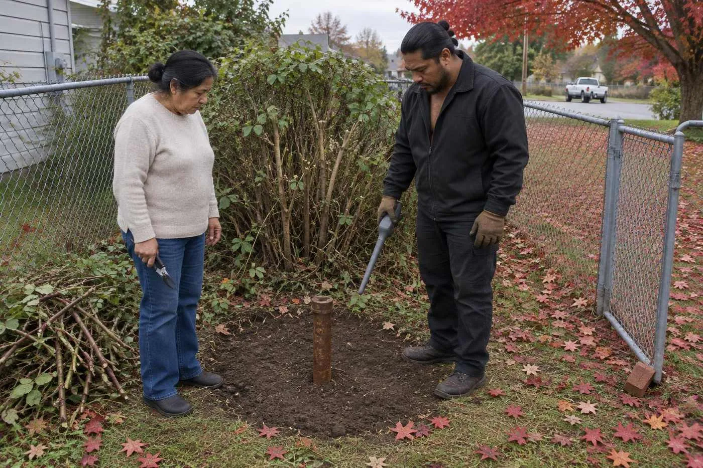
How to Prepare for a Land Surveyor Session (Property Owner's Checklist)
Prepare for your land surveyor session in 15 minutes and save $200+ in unnecessary research fees with this property owner checklist.
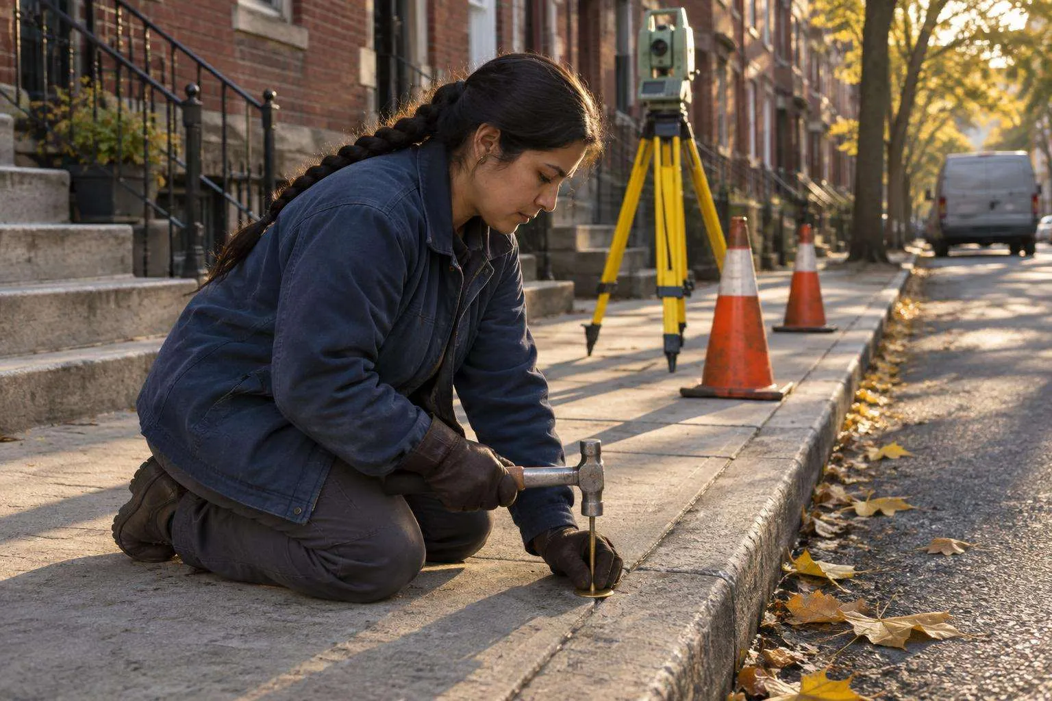
Land Surveyor Costs by State: Where You'll Pay More (And Less)
Land surveyor costs range from $375–$745 nationally, but vary 60% by state. See where you'll pay more and negotiate smarter.
Looking for more? Browse our full resource library or find land surveyors in other cities.
Stay Updated
Pricing data and tips for choosing a provider.
Free. Unsubscribe anytime.
Get a free quote from Alpha Land Surveying & Mapping